World Geography Deluxe
World Geography Deluxe is an award winning interactive global geography learning tool that teaches and tests your knowledge of geographical, political and historical peoples, places and events. For years schools and home users have been having fun learning geography as they explore 69 different maps from around the world, playing 12 challenging and interactive games while tracking their progress on each map as they play increasingly difficult and high scoring games.
Each map can be viewed as a colorful satellite image, with simple political borders, in topographic relief or as night satellite view showing how the earth would appear from the night sky.
Each of the 15 regional maps includes:
Countries
Capitals
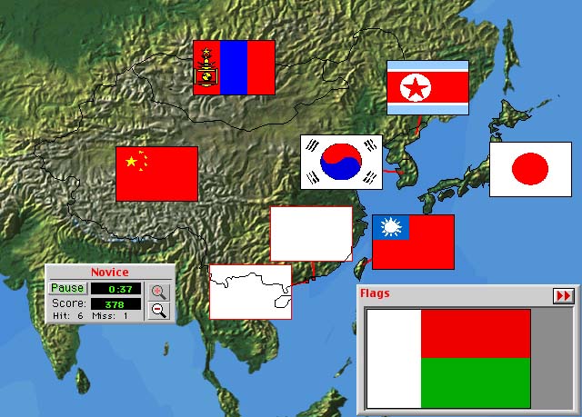
Flags
National Anthems
Major Cities
Mountain Ranges
Rivers, Seas, Lakes and Oceans
Fun and Historical Questions
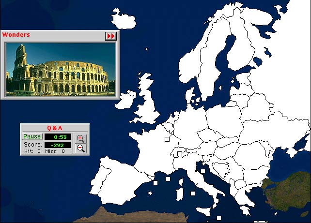
Pictures of Interesting Landmarks
Detailed maps
of the United States, Canada, Mexico and Australia include:
States, Provinces or Territories
Capitals
Major Landmarks
Rivers, Lakes and Mountains
Individual maps of each of the US states include:
Cities
Major Landmarks and Parks
Rivers, Lakes and Mountains
Take a tour below to see some of the fun and exciting ways to learn World Geography...
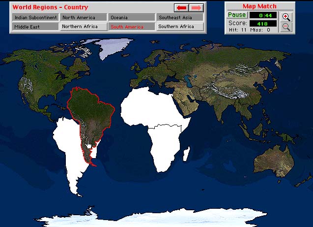
Start at the top and learn about the different World Regions by placing each region to complete the Satellite image
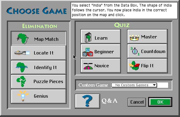
Choose a new game
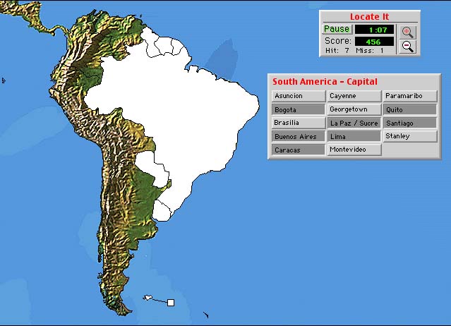
Learn South American capitals by clicking on the correct country, viewed as a Topo map
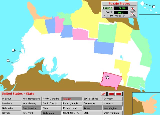
How about building the United States like a puzzle with no borders visible, and oh yea, upside down and backwards
Find the wonders of Europe
Try your hand at the flags of the Far East or even the National Anthems of Northern Africa
Now take a crack at the identifying all of the rivers found in Texas
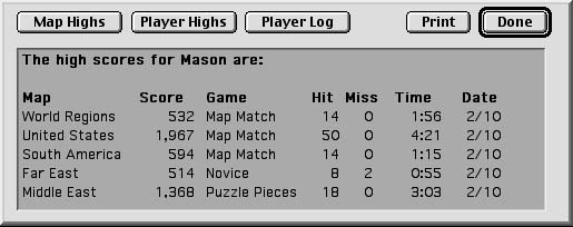
Finally track your progress through your high scores file
And most important, have fun while your learning!